
Geodetic and topographic surveying
Total Station surveying
GeoTotal organises geodetic and topographic surveys around the project purpose, site conditions and technical brief. Before fieldwork, the site boundary, existing drawings, coordinate and height systems, plan scale and deliverables are agreed.
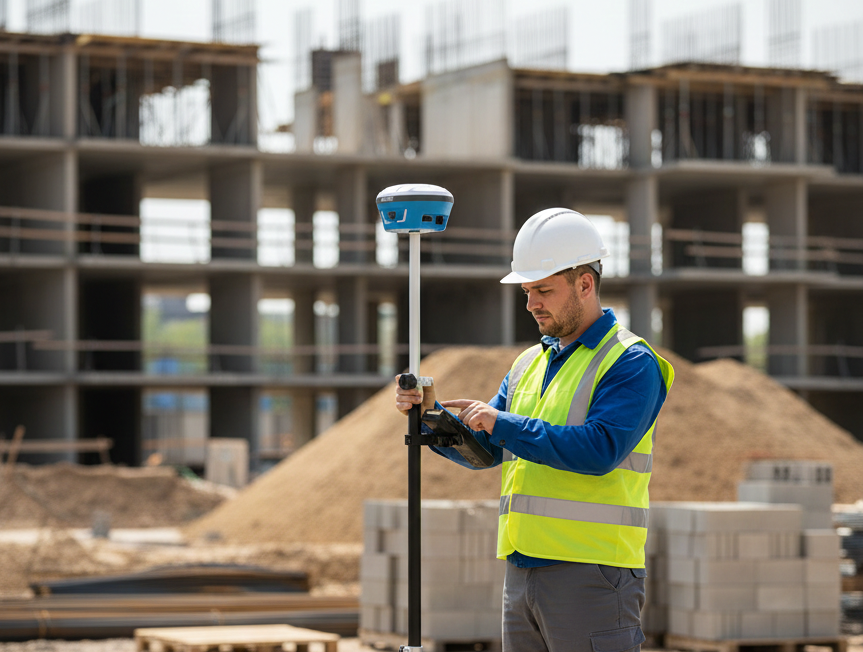
The workflow includes reviewing inputs, establishing or checking survey control, field measurement, processing, independent checks and preparing deliverables. Total stations measure structures, terrain features and visible utilities. GNSS supports positioning in open areas; obstructions and reflected signals may require complementary ground survey methods.

GNSS surveys and topographic plans
A topographic plan represents terrain, structures and surveyed features in a common coordinate and height system. At 1:500, 1 cm on the plan represents 5 metres on the ground. This level of detail can support building-site and landscaping design; the designer and client determine the required scale. Plans at 1:1000 or 1:2000 may suit larger areas, subject to the brief. Scale alone does not guarantee measurement accuracy.
Agreed deliverables may include DWG and PDF plans, coordinate and elevation schedules, a digital terrain model and contours. Hidden underground utilities cannot be established from surface surveying alone; separate records or specialist detection may be required.
Cost depends on area, terrain, building and vegetation density, access, required accuracy, scale, formats and schedule. Send the location, approximate area and project purpose for an assessment.
Levelling and elevation measurements
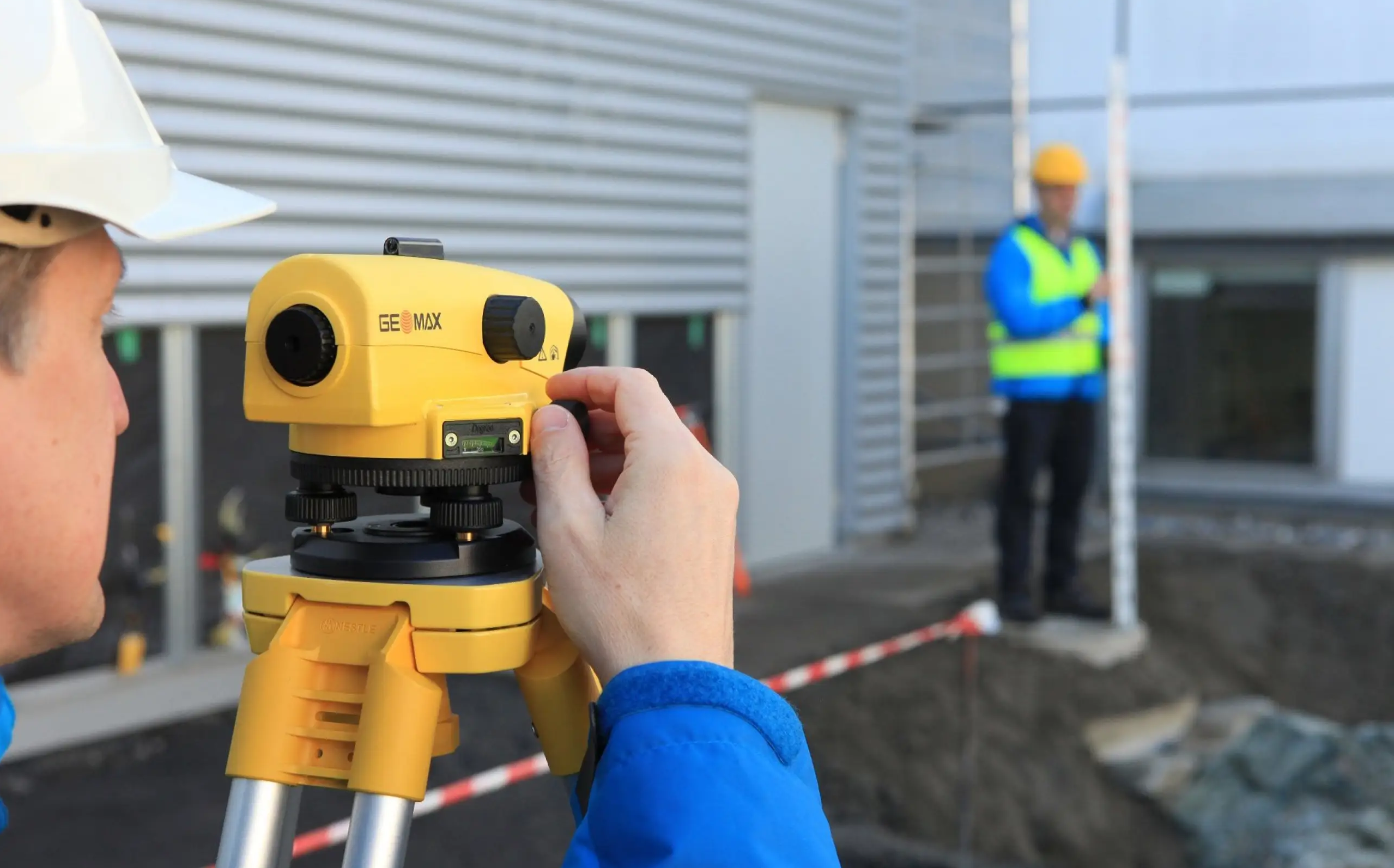
Levelling determines elevations and height differences. Control points and instrument setup are checked, and horizontal and vertical results are assessed through check measurements. Acceptance criteria follow the project requirements rather than one accuracy figure for every site.
Which plan should I order? Agree the scale and scope with your designer. How long does it take? A schedule is established after assessing the site and scope. Can a drone replace ground surveys everywhere? No; covered or unseen areas may need additional measurement.
Project examples: Topographic and LiDAR surveys in Hadrut and Surveying support for Crescent.
Related services: Drone LiDAR surveys and Construction surveying supervision. Discuss your project.
Discuss your project
Include the project location, the work required and the results you need. Select the relevant service when submitting your enquiry.