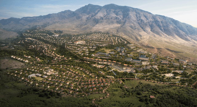
Qarabağ zonası Xocavənd rayonu Hadrut qəsəbəsinin bərpası - SP Architects
Works carried out within the restoration project of Hadrut settlement, Khojavend district, Karabakh region
- Participation in the preparation of the restoration and redevelopment project of Hadrut settlement.
- High-precision topographic surveying of existing non-damaged structures within the settlement area.
- High-accuracy geodetic and aerial LiDAR survey operations performed using the Matrice 350 RTK drone and Zenmuse L2 LiDAR camera.
- Generation of the existing terrain relief and large-scale topographic survey of the settlement area.
- Processing of collected data in DJI Terra software, including surface classification, Digital Terrain Model (DTM/DSM), and creation of a detailed 3D model.
- Preparation and submission of digital topographic plans to support restoration and design works.