Drone-Based Remote Sensing
Drone-Based Remote Sensing — Section 1
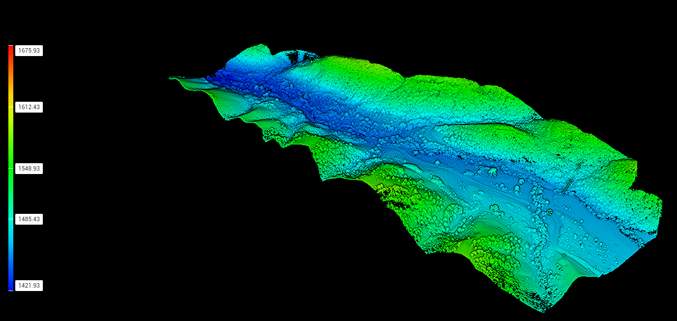
Geototal LLC leverages the latest in remote sensing drone technology. Our DJI Matrice 350 RTK drone flies at altitudes of 100–200 meters, using the DJI Zenmuse L2 LiDAR camera to scan the terrain with high precision. This technology allows us to efficiently and safely analyze both large and complex areas. The collected data is then processed and rendered on high-performance computer systems.
Drone-Based Remote Sensing — Section 2
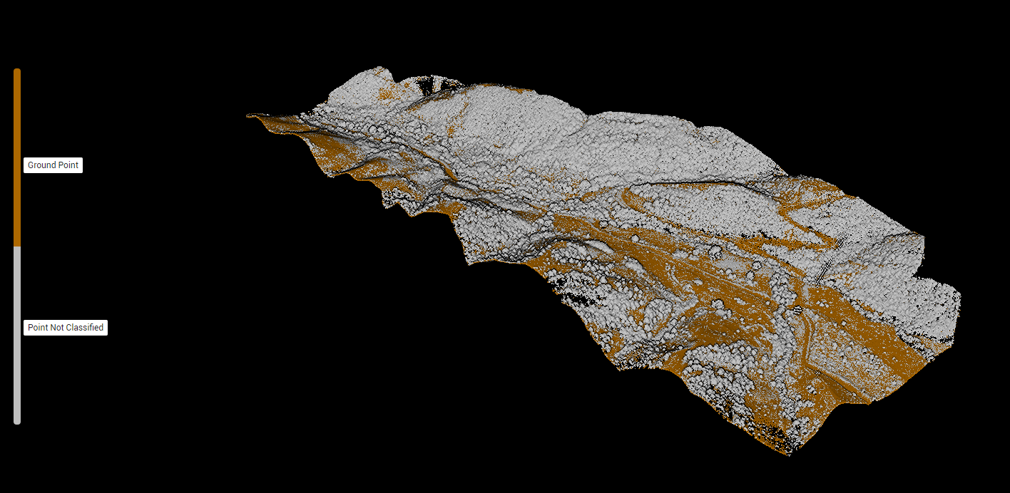
Based on the captured data, a complete 3D model of the area is created. New buildings, trees, terrain features, and other elements are automatically classified. This process provides a detailed understanding of the existing conditions of your project site. Every detail is processed with high accuracy, minimizing errors during planning and design phases.
Drone-Based Remote Sensing — Section 3
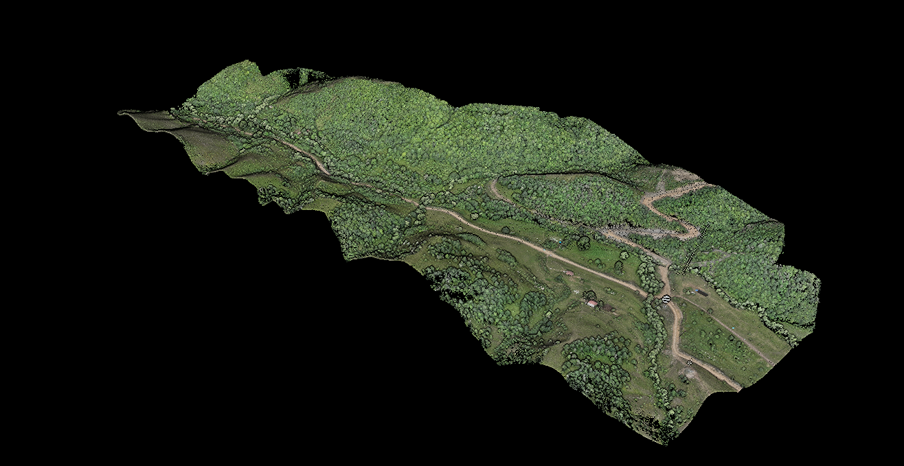
Using this method, we deliver accurate site information for your projects in a short time. High-precision data enables reliable decision-making in construction, architecture, and landscape planning. The process is efficient in terms of both time and resources, reducing the need for multiple site visits. Geototal LLC adds value to your projects through modern, cutting-edge technology.
Discuss your project
Include the project location, the work required and the results you need. Select the relevant service when submitting your enquiry.