
PHOTOGRAMMETRY AND DIGITAL MAPPING
PHOTOGRAMMETRY AND DIGITAL MAPPING — Section 1
At Geototal MMC, we implement photogrammetry services to provide high-precision measurement and mapping solutions for your projects. Using modern equipment and advanced software, the real condition of terrains is quickly converted into digital format. This approach minimizes risks during project planning. The data obtained through photogrammetry ensures high reliability. Consequently, decision-making becomes faster and more accurate.
PHOTOGRAMMETRY AND DIGITAL MAPPING — Section 2
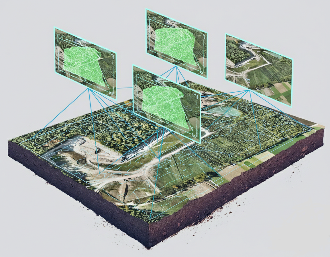
Our company utilizes drones and ground-based survey methods to create a complete visual data base of the area. Captured images are processed with specialized software to generate orthophoto maps. These maps reflect the real dimensions and terrain features of the site. Geototal MMC minimizes measurement errors at this stage. This ensures reliable foundational data for your projects.
PHOTOGRAMMETRY AND DIGITAL MAPPING — Section 3
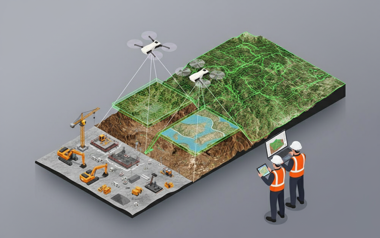
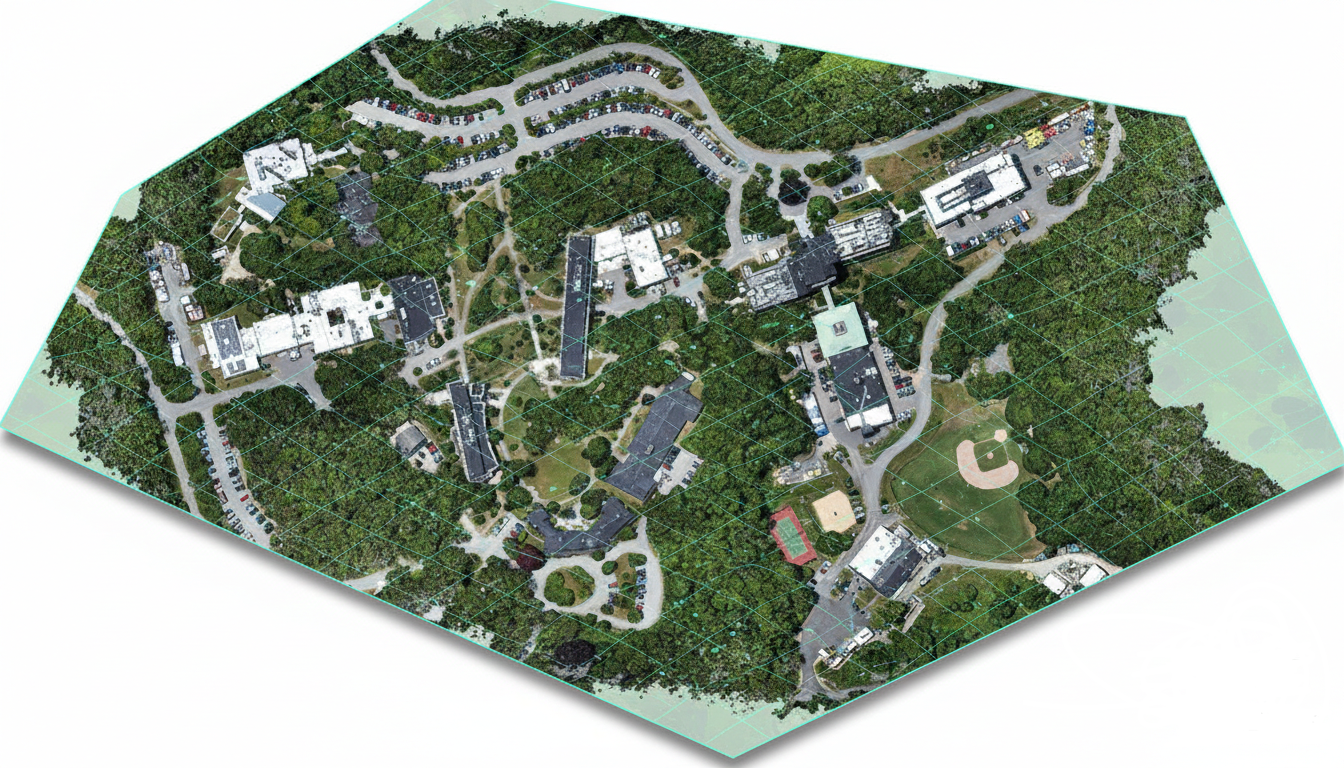
Geototal MMC provides 3D models, digital terrain models, and volume calculations as part of our photogrammetry service. This information is widely used in construction, road, mining, and infrastructure projects. With modern methods and equipment, measurements are carried out more accurately and efficiently, minimizing risks. As a result, your projects benefit from precise analysis, clear visualization, and informed decision-making. We are your reliable measurement partner.
Discuss your project
Include the project location, the work required and the results you need. Select the relevant service when submitting your enquiry.