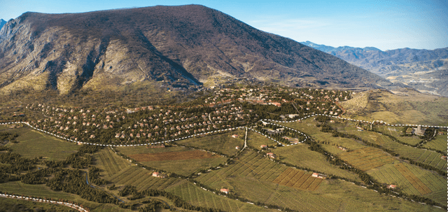
Qarabağ zonası Xocavənd rayonunun Tuğ kəndinin(Ataqut və Hünərli Kəndləri İlə Birlikdə) Bərpası - SP Architects
Works carried out within the restoration project of Tugh village (including Atagut and Hunerli villages), Khojavend district, Karabakh region
- Geodetic survey works were conducted in a mined area using the Matrice 350 RTK drone and Zenmuse L2 LiDAR camera.
- The existing terrain relief was generated and comprehensive topographic survey works were performed.
- Surface classification of the area was completed using DJI Terra software.
- A detailed 3D model of the territory was created based on the collected LiDAR data.
- Within the framework of environmental protection, tree coordinates were determined and a quantitative report was prepared.