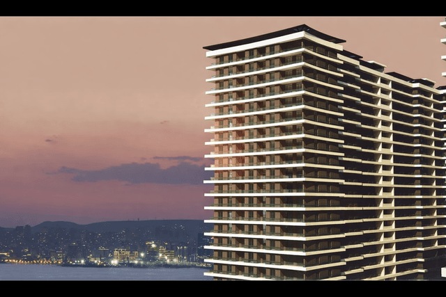
Panorama Park - Qorqud Assosiasiyası MMC
Works carried out within the Panorama Park project
- High-precision topographic surveys in the area of the residential complex
- Establishment of geodetic control network using modern equipment and integration into the coordinate system
- As-built surveying of all buildings, roads, and landscaping areas
- Precise setting out of project axes and elevation marks on the construction site
- Detection and mapping of underground utility and engineering networks
- Preparation of a digital 3D terrain model of the area
- Geodetic control measurements and deformation monitoring during construction
- Delivery of topographic plans and maps in digital formats (DWG, DXF, KMZ)