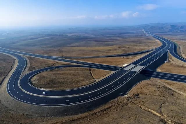
Əhmədbəyli-Horadiz-Mincivan-Ağbənd avtomobil yolu - KALYON RSY
Ahmadbayli–Horadiz–Minjivan–Agbend Highway
-
Within the framework of the construction of the Ahmadbayli–Horadiz–Minjivan–Agbend
highway, geodetic control points were selected, fixed on site and secured with
permanent markers along the 0+000–85+000 km and 100+000–120+000 km sections.
A control network scheme was prepared and measurement works were initiated.
-
Static GNSS observations were carried out on the established geodetic control points,
data were collected and processed in the office to verify the accuracy and reliability
of the coordinates. The results were tied to the existing geodetic reference system
and network closure errors were checked.
-
Based on the obtained coordinates, route leveling and as-built surveys were performed,
height control was refined, and geodetic support was provided for the design and
construction stages of the highway. All works were documented in accordance with
applicable technical standards and regulations.