
Construction surveying supervision and outsourcing
How surveying and construction work together: the Crescent project example
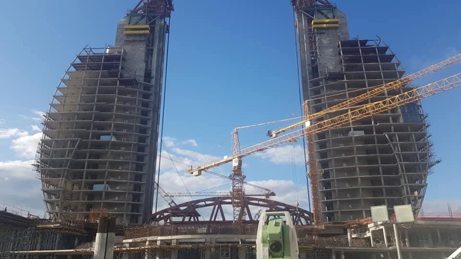
Construction-stage view from the Crescent project, with a total station in the foreground. Source: supplied GeoTotal photograph.
From design coordinates to the construction site
Every axis, coordinate and elevation in the design must be transferred correctly to the site. Foundation positions, structural connections and site levels are interdependent. An overlooked error can lead to rework and delays. Surveying supervision transfers design information to the ground and checks the actual position of completed elements. Outsourcing means organising an agreed scope through a specialist survey team; its deliverables and responsibilities must be defined.
GeoTotal’s work at Crescent
Crescent Development Project in Baku illustrates GeoTotal’s surveying support for construction and landscaping. The company’s project page, which names GILAN HOLDING, records landscape measurements, bridge construction supervision, checks during steel erection and the establishment of survey reference points. 1 Terrain coordinates and elevations supported landscaping. Bridge axes and structural positions were checked. Axes and levels were verified during steel assembly and lifting, and a stable reference network was established. The outsourcing model below describes a general way of organising such work, not a claim about Crescent’s contract terms.
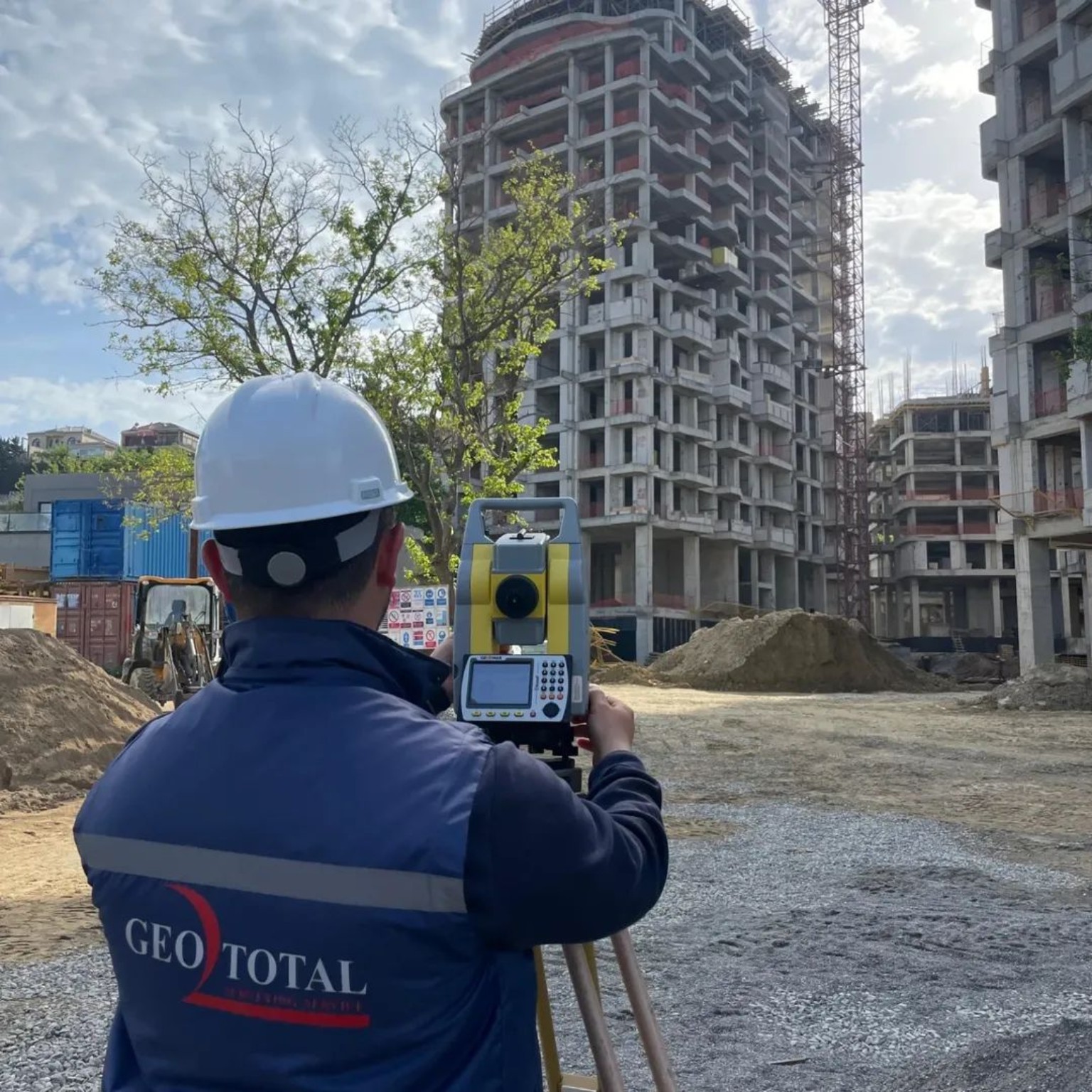
A GeoTotal team member taking total-station measurements on a construction site. Source: supplied GeoTotal photograph.
Checks before, during and after erection
Before erection, the current approved design, coordinates and elevation marks are reviewed. The instrument station and orientation are checked; required points are set out and handed over to the erection team. During erection, horizontal position, elevation and orientation are measured. Temperature, loading and temporary supports are considered when interpreting results. Differences are compared with the design and any corrective decision is agreed with the responsible design and construction team. After final fixing, as-built coordinates, levels and deviations are documented. Surveying assesses geometry; structural load-bearing capacity requires a separate engineering assessment.
Reading the coordinate comparison
The illustrative diagram compares a design point with a measured point. ΔX and ΔY show coordinate differences. The drawing is not to scale and does not present actual Crescent measurements. Height differences are assessed separately in practice. Results are compared with the permissible deviations defined for the project. Compliance depends on the entire measurement method, not only the instrument’s catalogue specification.
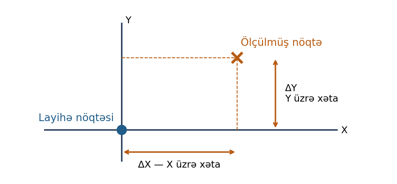
Illustrative design-versus-measured coordinate comparison. Not to scale; not an actual Crescent measurement result.
Surveying for landscaping
In a mixed-use complex, paths, open spaces, planted areas and entrances require coordinated levels. Surveying supports the transfer of design elevations and the verification of completed work. Existing terrain and the design surface must share a coordinate and height reference system. Breaklines, cross-sections and surface models may be prepared where required. The application of design slopes is checked. Designing drainage and setting out an approved drainage design are different scopes of work.
Organising an outsourced survey service
The client assigns a defined part or agreed overall scope to a specialist company. Staffing, instruments, attendance and reporting are matched to construction stages: one site may need a permanent team, another planned visits. Before mobilisation, the brief, programme, drawings, existing control and handover requirements are reviewed. Missing information is identified. Site measurements are processed, compared with the design and communicated to the construction team. Drawing revisions are recorded, with a procedure to prevent obsolete versions being used. Setting out, pre-concrete checks and post-erection as-built surveys are included in the programme, with agreed request and response times. Flexible staffing, specialist equipment and consistent records can help; lower cost is not automatic and must be assessed against scope and attendance.
Accuracy and responsibilities
A single tolerance is not suitable for every element. Landscape levels, steel connections and building axes may have different acceptance criteria, set by approved documents and applicable technical requirements. The survey team checks reference points, instrument setup, orientation and repeatability. Independent methods or additional check points are planned according to complexity. The client and construction team provide current designs, access, safe measurement conditions and the required state of the structure; they arrange protection of control points. The survey service measures, verifies and records the agreed work, reports deviations and agrees any repeat checks. The responsible design and structural team assesses compliance and authorises necessary design changes. Taking measurements does not authorise the survey team to change the design.
Deliverables and traceability
The technical brief defines the handover package. It may include setting-out diagrams, coordinate and elevation tables, measurement protocols, design-versus-actual comparisons, as-built plans and a technical report, in agreed DWG, PDF and table formats. Records should identify the date, area or element, design revision, coordinate and height systems, responsible person and check results. An as-built survey records a condition at a particular time. Deformation monitoring compares observations at different times against stable control, taking measurement uncertainty into account; it requires a separate programme where needed. 2
Frequently asked questions
When should supervision begin? Control and initial information should be checked before the first setting-out work, then supervision follows the construction programme. Must the team be permanent? Continuous erection and parallel work fronts may require this; separate stages can use scheduled visits. Can GNSS be used everywhere? Buildings, metalwork, obstructions and the required accuracy must be assessed; total stations, levels or other methods may be appropriate. What happens when a deviation is found? Measurements and design information are rechecked, the responsible team is informed, the decision is recorded and repeat measurements follow the correction where required.
Discuss your construction surveying requirements
GeoTotal provides surveying supervision, axis setting out, elevation measurements, as-built surveys and surveying outsourcing. Crescent’s bridge, steel and landscaping work illustrates this experience. Share the scope and construction programme to agree an appropriate service. See the construction supervision service, Crescent project and geodetic surveying pages below.