
What is geodesy? Its role from surveying to construction
How is a point on a drawing located on a construction site? How are differences in ground elevation measured? Geodesy provides the reference framework behind these tasks.
Geodesy studies the Earth's shape, size, gravity field and the positions of points. In engineering practice, surveying determines coordinates and elevations, transfers designs to the ground and checks completed work.
What does a surveyor do?
A surveyor does more than collect readings. They establish the coordinate and height reference, check observations and prepare usable information for the project team. Tasks can include measuring existing features, establishing control points, setting out building axes, checking constructed elements and monitoring movement through repeated observations.
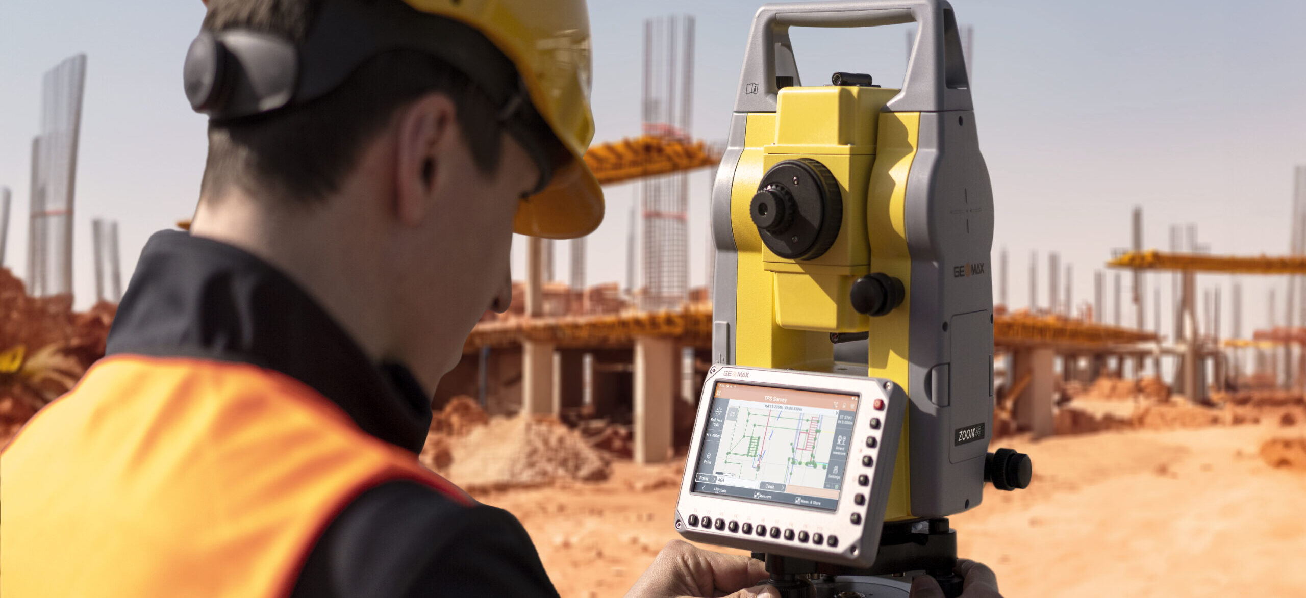
Why does construction need surveying?
Surveying connects design drawings with actual site conditions. Distances alone are not enough: setting-out points must also be positioned in a consistent coordinate and height system. Different teams working from incompatible references can produce conflicting results.
Checks during construction help identify discrepancies before subsequent work conceals them. Read about construction surveying and monitoring for this stage of a project.
Which instruments are used?
A total station measures angles and distances. GNSS receivers use satellite signals to determine positions. Levels measure height differences between points.
The method depends on site conditions and required accuracy. Buildings and trees can obstruct satellite signals, so one method does not suit every location. Accuracy must be assessed through the survey procedure, control and checks, rather than the instrument name alone.
How does geodesy differ from topography?
Geodesy provides the framework for determining positions. A topographic survey records terrain and measured features on a plan. Preparing a site plan for a designer and setting out the building shown in that design are related but different tasks.
How is a survey organised?
The team first agrees the purpose, site extent, existing information and deliverables. Control is checked, field measurements are collected, and the data is processed and reviewed. Depending on the brief, outputs may include plans, coordinate and elevation schedules, as-built drawings and a report.
Frequently asked questions
Is a phone's GPS sufficient?
A phone helps locate a site but does not automatically provide the engineering accuracy or verifiable results a project requires.
What determines the price?
Site size, access, point density, construction stage, accuracy, return visits and deliverables all affect the workload. Equal areas do not necessarily mean equal survey costs.
What should I send when requesting a survey?
Provide the location, purpose, existing drawings, required outputs and timing constraints.
Discuss your project
Explore GeoTotal's geodesy and topographic surveying services and contact the team to agree a scope suited to your project.